top of page
Aerial Mapping Details
Site Planning
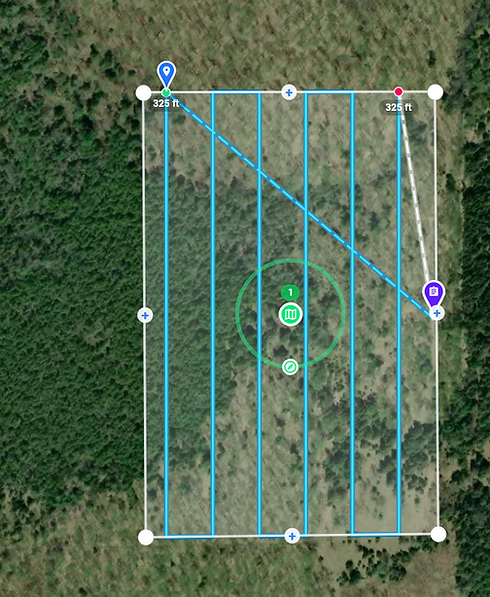
How are drones used to create updated aerial imagery? It starts by creating a site plan. Using flight planning software, the area of interest (AOI) is mapped out. Based on direction, speed, height, etc., a grid is established to collect all the needed images.
bottom of page